Home
> Uncategorized > Preliminary Site Analysis: A GIS Survey
Preliminary Site Analysis: A GIS Survey

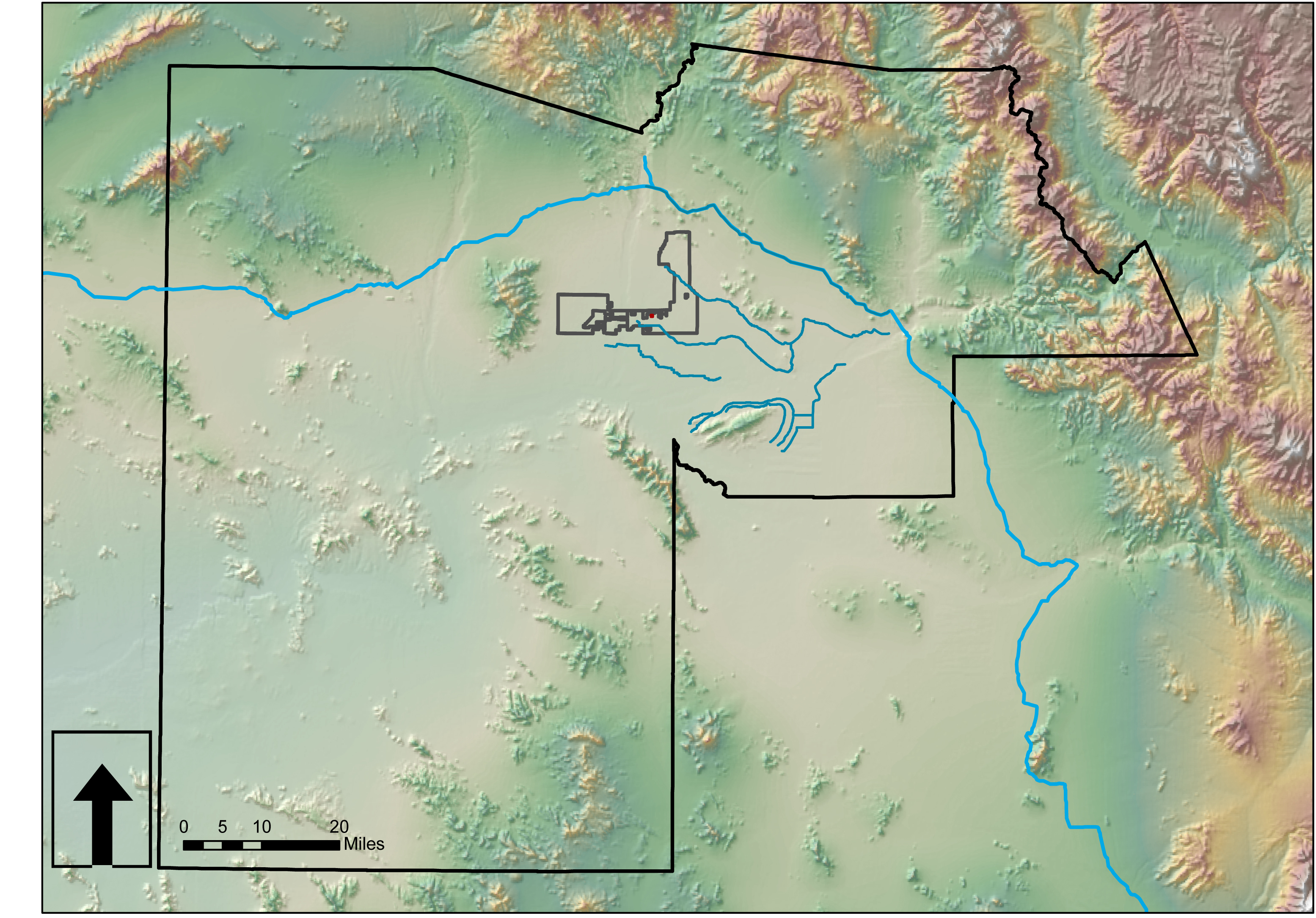
Much of the county data is available for download from Maricopa.gov. Look to their GIS services. Perhaps one exists for Pinal County? Below are some context maps of the proposed site location within Glendale. Lastly, I have imported GIS data (.shp files) into AutoCAD Map3D then into SketchUp to begin working on a 3D site model using Google Earth imported images. This takes about an hour from start to finish.


Categories: Uncategorized
Comments (0)
Trackbacks (0)
Leave a comment
Trackback
